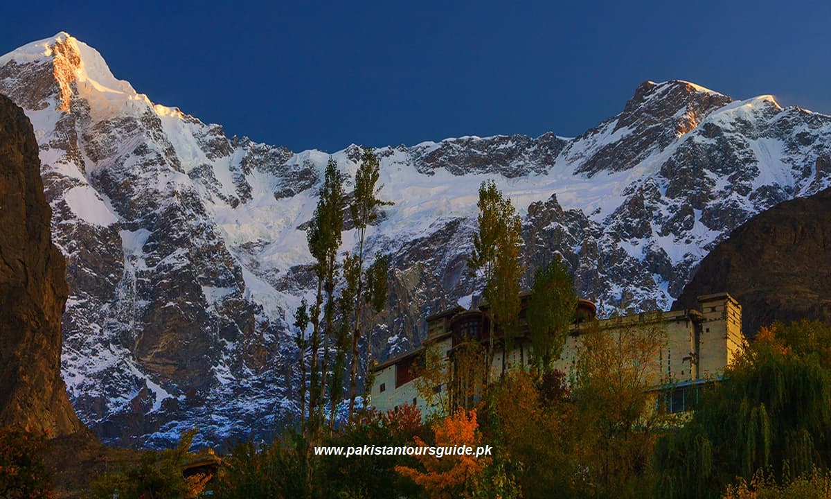
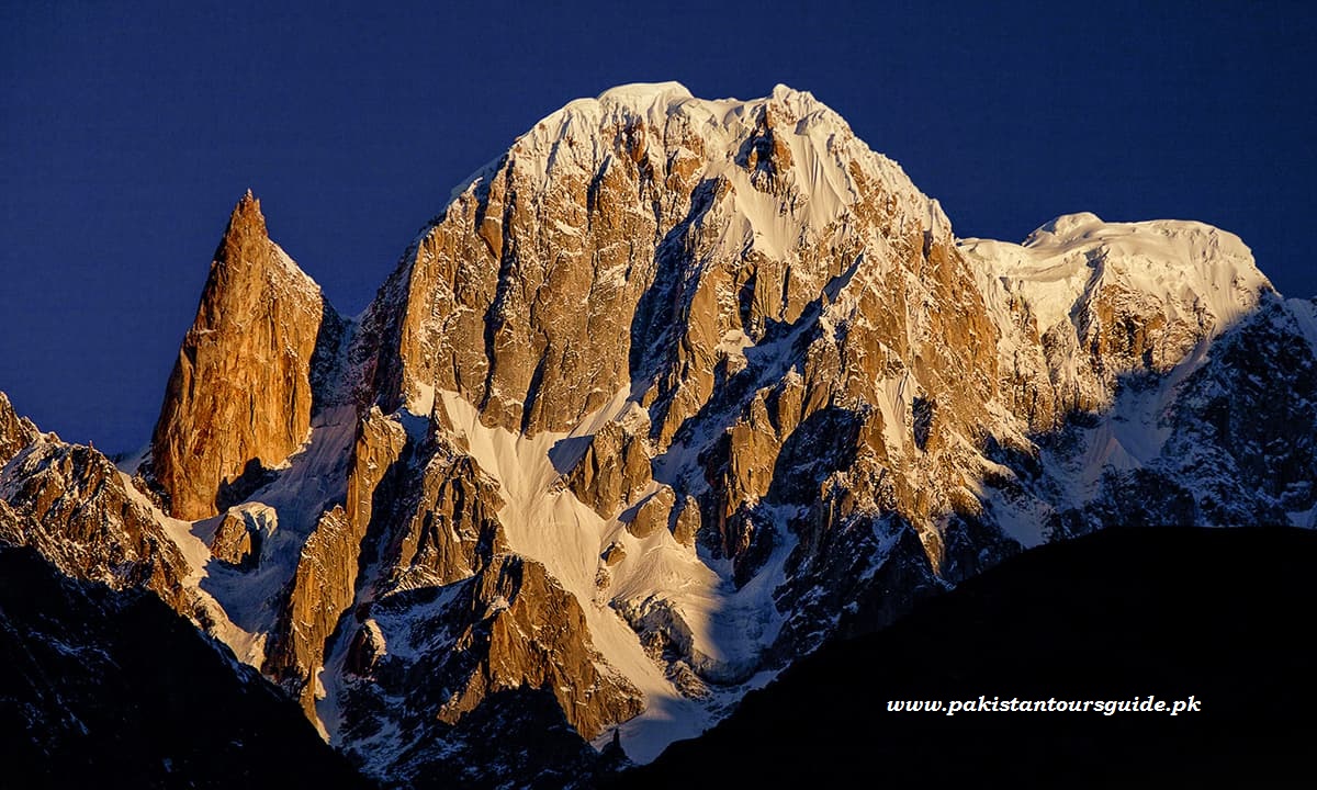
The Hunza valley in the Gilgit–Baltistan region of Pakistan. The Hunza is situated north/west of the Hunza River, at an elevation of around 2,500 metres (8,200 ft). The territory of Hunza is about 7,900 square kilometres (3,100 sq mi). Aliabad is the main town while Baltit is a popular tourist destination because of the spectacular scenery of the surrounding mountains like Ultar Sar, Rakaposhi, Bojahagur Duanasir II, Ghenta Peak, Hunza Peak, Passu Peak, Diran Peak and Bublimotin (Ladyfinger Peak), all 6,000 metres (19,685 ft) or higher.
Three Regions of Hunza
Upper Hunza, Gojal
Upper Hunza (Gojal) is beautiful valley of Hunza, and one of its sub region where three different linguistically people are existing, Burushaski speakers originated from central Hunza and migrated during kingdom of Ayashoo and wakhi speakers oriented from Wakhan corridor. 65% of population encompass of wakhi speakers and rest of 34% composed of Burushaski speakers. The third dialect Domki compared of 1% and their families found in Nazim abad and Shishkat village.
Centre Hunza
Center Hunza remained the administrative region during monarchial rule of Ayashoo dynast, a ruling family of Hunza for 980 years from 996-1974 and in realistic way center Hunza is capital center of Hunza State. Historically scholars published many credentials about the origin of families in center Hunza but no mutual consent literature confine the rationality about the origin of families in the Center Hunza.
Lower Hunza
Lower Hunza is a sub region of Hunza, boundaries with Nagar valley on east and on south. The beautiful sub region of hunza starts from a village Khizir abad and ends at Nasir Abad, Lower Hunza composed of Khizir abad, Mayoon, Hussainabad, Khana Abad and Nasirabad. Nasirabad location on KKH makes it as a centre village of Lower Hunza.
Baltit Fort
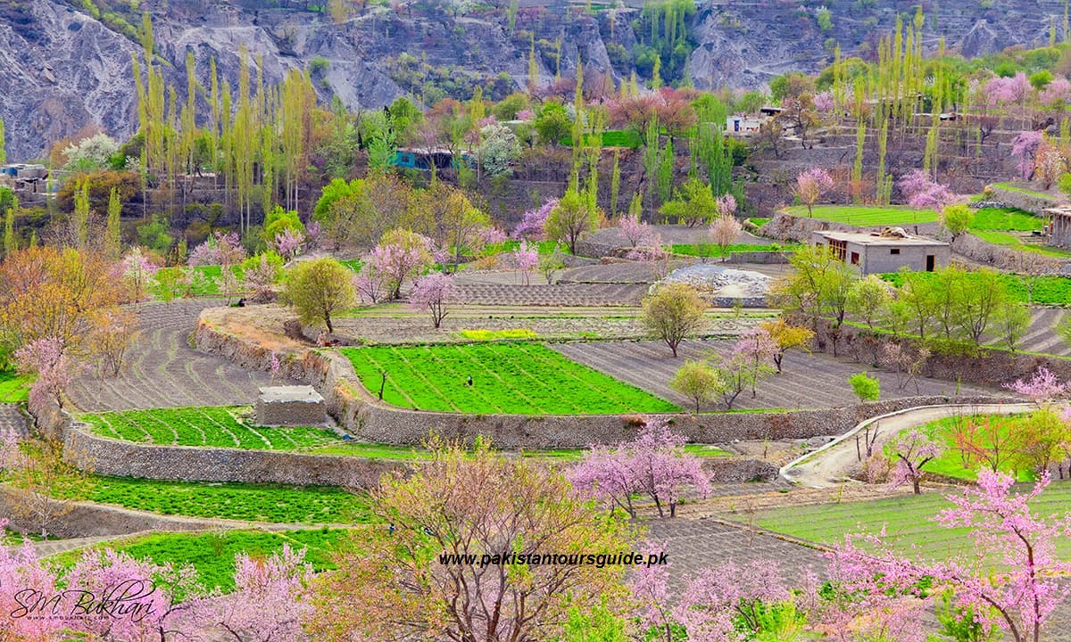
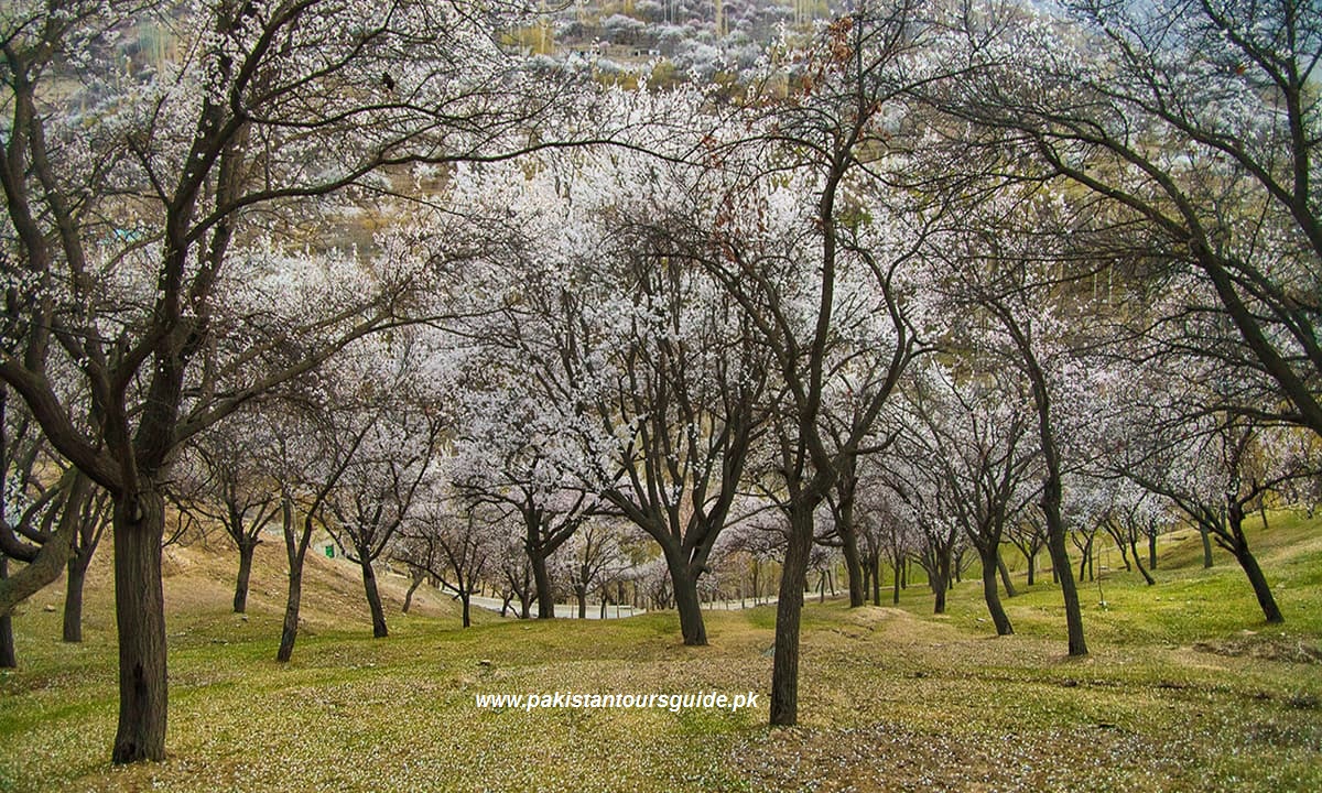
Blosssom in Hunza
Cherry Blosssom in Hunza
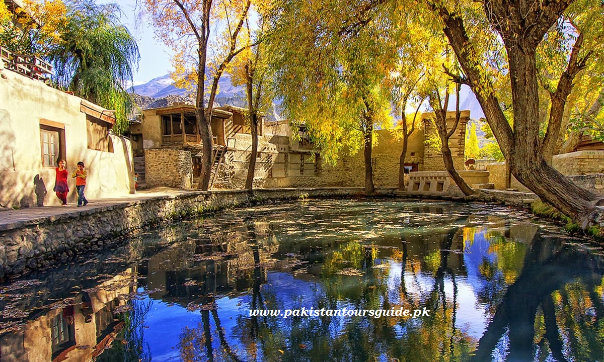
Ganish village in Hunza
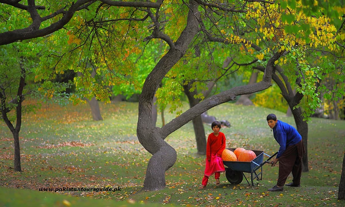
Royal Garden, Hunza
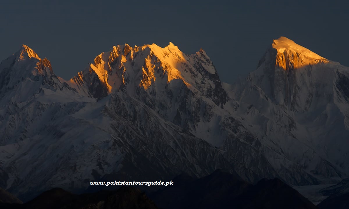
Sunset in Golden Peak , Gilgindar and Chotokan Peak
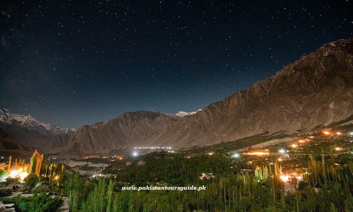
The view at night
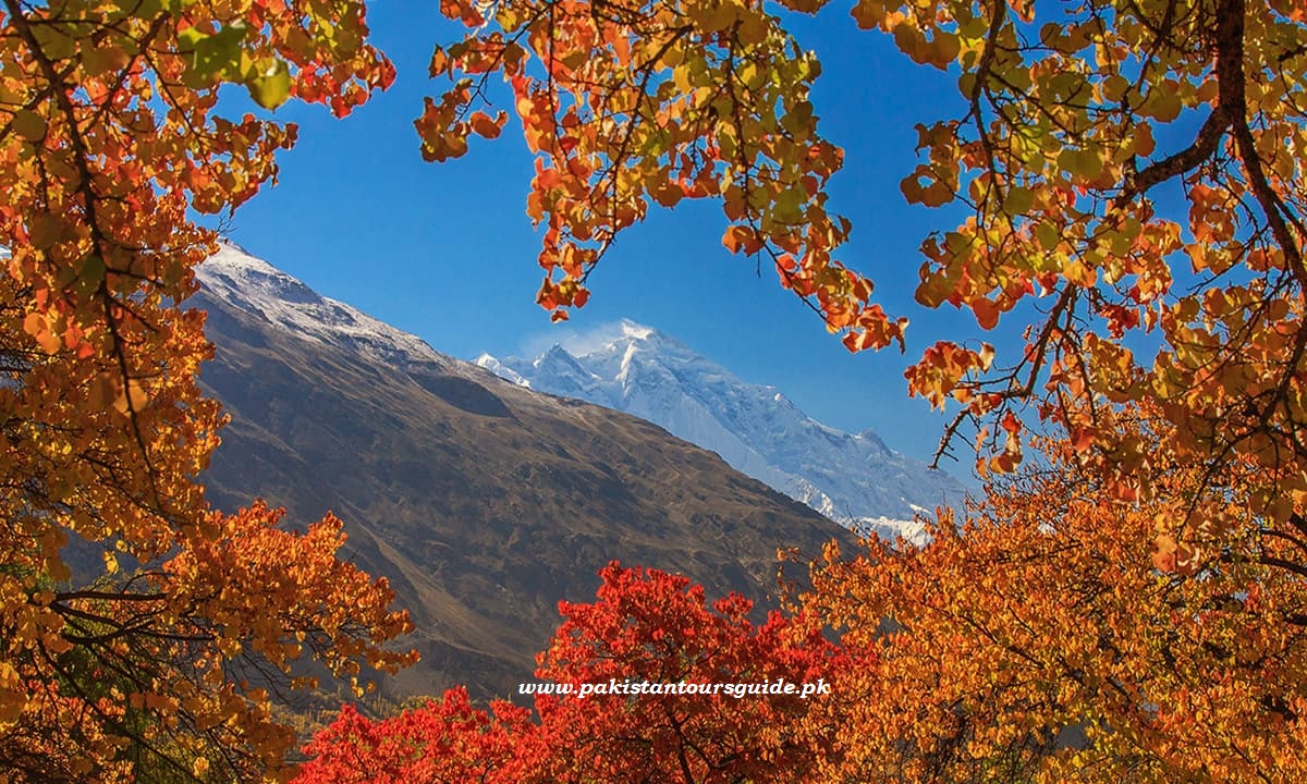
View of Rakaposhi
